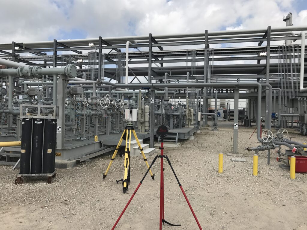
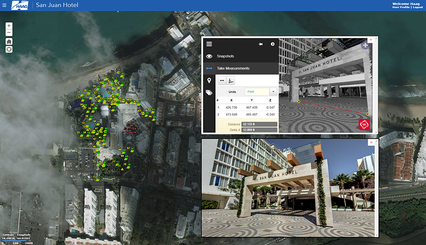
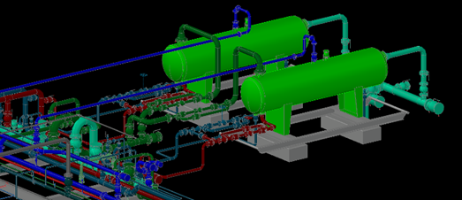
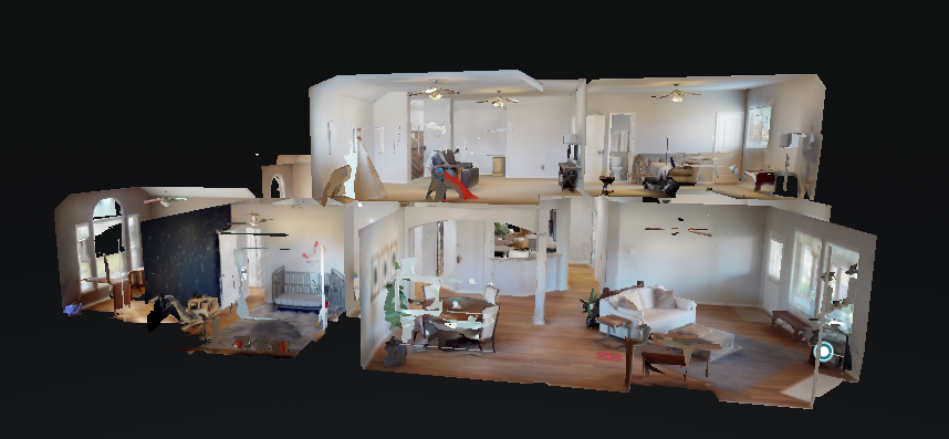
3D Laser Scanning (3DLS) is a technology that uses a laser light to digitally capture an objects exact size and shape, shown in a 3-dimensional representation. The information produced from the laser scanner is known as “point cloud” data. The 3D model or shape of the object is made up of millions of points documenting the entire surface of the object. On average, a scan records one million points every second. Point clouds are highly accurate, precise and measureable points of the surface of the object. Laser scanning is safe, fast, non-destructive and does not interfere with any other work or activities going on near the object. Point cloud data can be imported into multiple software platforms for further analysis and modeling and is viewable without the need for special software.
Deliverables are tailored to the individual needs of each client:
Advantages


Enter your personal information and project specifics to get started.