THE ART AND SCIENCE OF COLLABORATIVE CONSTRUCTION CONSULTING
By Brian Segedin, Senior Construction Consultant
I believe I can safely speak for all construction consultants when I say report writing is the most enjoyable part of being a Construction Consultant. The effortless speed at which we type, skillfully using our ten human digits, makes writing impactful reports almost instinctive. Words naturally flow from us, artfully describing the sequence of damaging events and laying out multi-phase repair concepts with flawless clarity. Our writing stands alone, hardly needing the support of photographs or drawings. But, of course, we have photos – lots of them. We only include a select few in our reports because sorting, captioning and keeping track of them is tedious, and too many visuals can distract from our perfected prose. The unseen images? They are compressed and hidden on expensive hard drives. Who would ever dare meddle with this beloved process?
Haag will.
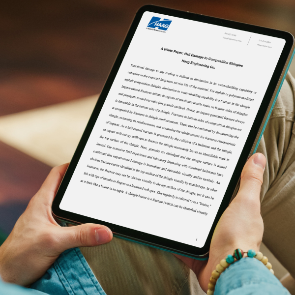
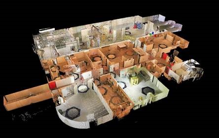
The business units of Haag have a long and rich history of innovating methods, procedures, and tools to turn complex and ambiguous situations into manageable and quantifiable solutions over the past one hundred years. Haag Construction Consulting is supported by the vast knowledge and experience of our Forensic Engineers, Research and Testing, Forensic Meteorologists, Geographic Information Systems (GIS) Specialists, 3D Scanning/Modeling and Photogrammetry Specialists, and a myriad of technical professionals. Haag Construction Consultants, who frequently encounter unique and challenging situations in the field, have quick access to our specialist colleagues, providing a massive toolbox for any scenario.
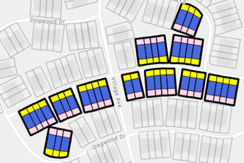
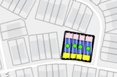
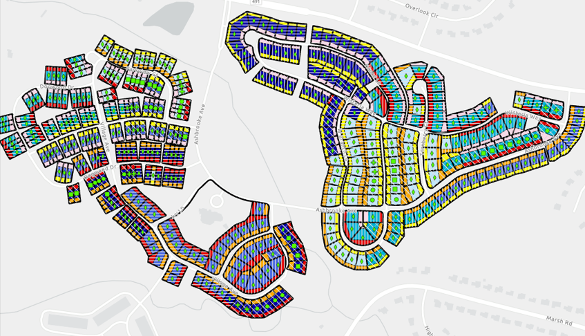
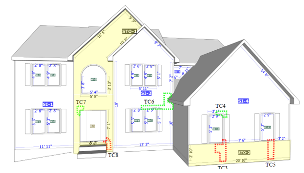
Three key technologies — Geographic Information Systems (GIS), 3D Scanning/Modeling, and Photogrammetry — are the building blocks of data collection, organization, and presentation capabilities at Haag. Our teams collaborate with specialists in these areas to develop capabilities within our secure web mapping application, the Haag Geoportal. The GeoPortal collects, organizes, and presents the most accurate information possible in a visually engaging interactive map-based environment. Consultants and engineers will work independently or side-by-side using a custom mobile app to log field observations, notes, sketches, photos and scans that are geocoded to the coordinates where they were captured. Information is automatically categorized when captured and stored in real time by location in an organized and accessible shared workspace. Team members at their desks can work with the data and images as their colleagues continue to collect in the field. When a project goes live on the GeoPortal, clients can have access to all their data with the desired level of granularity.
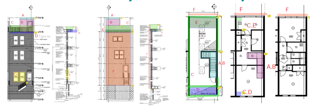
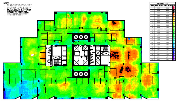
When responding to a catastrophe, accuracy and timeliness are paramount. In the coming months, Haag’s clients will have the ability to watch a map populate with markers for their inspected losses, select single addresses or individual buildings in a large development or campus, and instantly understanding of the severity of the situation with a mouse-click. Litigation clients, for example, will be able to view development-wide maps with symbols depicting building types, finishes, and the status of destructive testing progress and results. The enhanced Haag GeoPortal is expected to launch to the public in Q4 2024.
The power of a knowledgeable team of construction professionals equipped with a well-developed GIS workspace and mobile collection app cannot be understated. It is an exciting time to be part of Haag, working with a project team to develop a system that will enhance the way our team communicates findings for decades to come.
Author

Brian segedin, senior construction consultant
Brian Segedin is a Senior Construction Consultant with Haag Construction Consulting. Mr. Segedin is an experienced consultant with more than 27 years in the construction industry. He is based in Pequannock, New Jersey, near the NYC area. Mr. Segedin’s areas of expertise include facility condition assessments, energy efficiency, construction management, and property loss consulting. He most recently conducted facility condition assessments, including 30 Boston Public Schools campuses and 20 sites for First Energy. He was the owner of Atlantic LED Solutions for almost 10 years and worked on lighting projects for medical centers, roadways, warehouses and more. He has experience with property loss recovery and reconstruction projects, including New York Law School, and Hurricane Sandy recovery at One New York Plaza. He spent 13 years as a construction manager overseeing large commercial projects.
Mr. Segedin earned a Bachelor of Arts degree from Montclair State University. He is certified as a Qualified Individual – General Contractor Unlimited: South Carolina and Virginia, and an Associate Member of the Illuminating Engineering Society. He is skilled with Fulcrum, ArcGIS, Quickbooks, Xactimate, Timberline, Microsoft Office 360, Adobe Acrobat Pro, and Google Earth Pro.
Any opinions expressed herein are those of the author(s) and do not necessarily reflect those of Haag Technical Services, Haag Engineering Co., Haag Education, or parent company, Haag Global, Inc.

